Mediterranean Sea Decision-Support Platform

Everything you need to know
before you set sail.

Competitors publish static content; LeeHarbor computes it: "can this boat enter that cove, on this date, in this weather — and is there a marina fallback?" 2,238 marinas, live AIS, marine weather, sea-routing, safe-haven advice and boat & yacht charter — all on a single map.

🛰️ 50,784+ AIS records ⚓ Cove crowding · live 💸 Free for boaters 🌍 6 languages
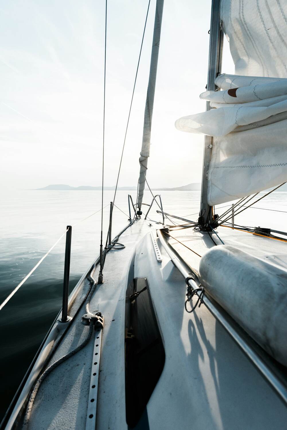
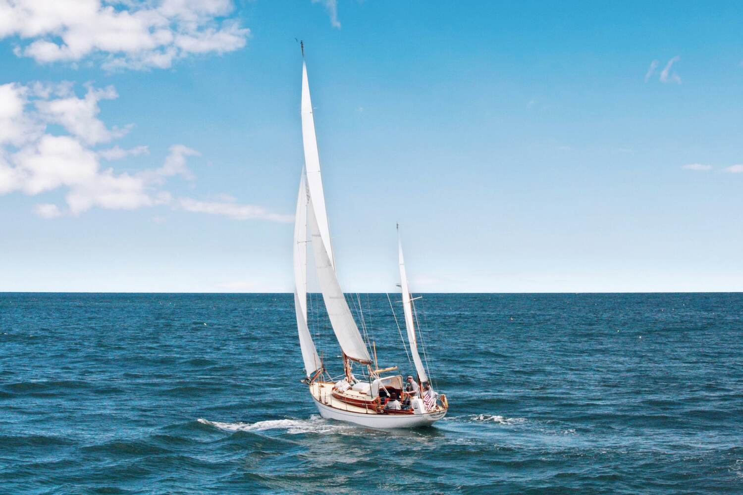
36°41′N · 28°22′E · under way The Mediterranean horizon and distant islands from a sailboat's deck
Heading · speed
312° · 6.4 kn
⚓ Cove crowding sample
14 anchored
Harbor safety
86 / 100
Live production numbers
0
Marinas & berthing points
0+
AIS position records
0
Documented API endpoints
0
Captain badges
0
URLs pushed to IndexNow
0
Curated coves (depth/bottom)
0
Marine service categories
0
Languages

Everything on the map is real data — no made-up marinas, no fake reviews. All figures from the live production database.

Defensibility

Four uncopyable data moats

These are not scraped prose but server-computed values — a rival cannot get them by copying a page. And each compounds with the others: routes link to coves, coves to charter, charter to marinas.

MOAT 01

Draft-aware cove access

The number of reachable, sheltered coves filtered by the boat's real draft — the charter marketplace's signature filter. No aggregator exposes this.

✓ Live
MOAT 02

Dated “can I sail?” verdict

A live safety score read from a cached Mediterranean weather grid (~857 points, refreshed ~every 3h) — a computed answer, not a per-render API storm.

✓ Live
MOAT 03

Live AIS crowding

“⚓ N boats anchored” + hour×day marina occupancy from a persistent AIS listener running for weeks. 50,784+ records and growing.

✓ Live
MOAT 04

Curated route + cove corpus

40 coves with real depth/bottom/holding/shelter fields and 6 blue-cruise routes — all cross-linked. An internal-link and data-completeness graph rivals lack.

✓ Live
One platform · Three worlds

Who is LeeHarbor for?

Three sides share one sea: those who set sail, those who run the marina and those who service the boats. LeeHarbor brings all three together on the same map — and builds a dedicated world for each.

Real data, real sources

LeeHarbor doesn't guess; it combines open, trusted maritime & weather data sources on one screen — most served straight to the client, cached in the background.

Wind & weather model Waves & swell EMODnet / GEBCO depth Seabed type Tide level Wind & weather model Waves & swell EMODnet / GEBCO depth Seabed type Tide level 🛰️ AIS vessel traffic · LIVE🗺️ OpenStreetMap / OpenSeaMap⚑ FEE Blue Flag 🛰️ AIS vessel traffic · LIVE🗺️ OpenStreetMap / OpenSeaMap⚑ FEE Blue Flag
Part 01 · For everyone

Live map engine & layers

At the heart of LeeHarbor is a GPU-accelerated WebGL map engine — globe projection, 3D terrain and animated wind run cheaply on top of it. Every layer is current and location-aware.

Live map

2,238 points, at a glance

Marinas, fishing shelters, mooring fields, restaurant jetties, day coves and town quays — every place a boat can berth is on the map. Zoom out to a real globe, in to the flat nautical chart.

Globe View + 3D Terrain

One-tap sphere projection and relief terrain; wind particles are re-projected onto the curved surface — a visible edge over flat maps.

Satellite & Nautical Basemaps

Switch between high-resolution satellite imagery and a street/nautical basemap — read the cove bottom and approach by eye.

Mode · Layers · View

20+ layers (navigation, depth, traffic, coves, weather) toggle in grouped panels; every new data wedge plugs in here cheaply.

Captain layers

OpenSeaMap navigation marks (IALA), EMODnet depth contours and VHF approach channels — revealed on zoom, with a captain's legend.

12 m 20 m 36°41′N · 28°22′E CM93 · z14
Göcek Harbor · ● Safety 86/100
Wind NW 8 kt · COG 312° · SOG 6.4 kn
🌐 Globe🛰️ Satellite🌊 Nautical💨 Wind⚓ Anchor

39 bespoke “brass & glass” marine instrument icons physically animate when live data arrives — a proprietary visual language vs generic system icons.

Mediterranean coast
The whole Mediterranean

Three worlds in one app, on a single sea.

7/24
Live data feed
0%
Added buyer commission
€0
Cost to boaters
Unlimited routes
Part 02 · The sharpest wedge

Live Captain’s Verdict & AIS sea intelligence

We turned 2,342 static SEO pages into live decision pages: a server-rendered “can you sail now?” block on every marina, cove and spot page — zero external API at render time (369-node cache).

⚓ Göcek Marina — Captain’s Verdict · live block
Good to sail
Wind NW 9 kt · Wave 0.3 m · SST 24°C
86
/ 100
14 boats anchored🌅 Sunset 20:14
Cold 451msHot 67msNo-API render
Server-rendered, per page

Not a static page, a live decision

Neither Navily/marinas.com (static) nor Windy/MGM (raw) offer this: each page shows that spot's live safety score, weather/sea state and ⚓ AIS anchored-boat count. Open to Google, live for the user.

🛰️

Live vessel tracking

AIS positions of the commercial and private boats around you on the map, live — a feed learning from 50,784+ position records.

Anchorage Radar

A crowding indicator for every cove: “⚓ boats anchored · busy/quiet” — priceless when hunting for an empty corner.

Harbor busyness profile

Marina traffic by hour × day — learned from live AIS history; see in advance which day and hour it fills up.

🔮

Overnight-stop crowding forecast

“Usually ⚓N boats at this hour” + a quieter alternative suggestion when it's full.

Part 03 · Environmental data

Professional weather & sea visualisation

Location- and zoom-aware — Istanbul's weather and Bodrum's never mix. From the seabed to the sky, all from a cached grid.

Wind

Particle animation at realistic speed plus a colour legend — direction and strength at a glance.

Waves & Swell

Instant wave height and swell direction; tell at once whether the cove is calm or exposed.

Temperature & Rain

A temperature layer with coastal temp/wind labels and a precipitation layer — two live overlays from the same grid.

Tides & Sea Level

Rise and fall from real sea-level data — critical for shallow approaches.

Depth & Bathymetry

Water depth and bottom profile of any point from EMODnet and GEBCO data.

Seabed & Holding

Sand, mud, rock, posidonia — will your anchor hold? Bottom type and anchoring suitability.

Draft-aware Shallow Risk

Enter your draft and clearance; shallow/risky zones flag red/yellow on the map — turning bathymetry into a safety warning.

🌅

Astronomy & Solunar

Sunrise/sunset, moon phases and solunar — for daylight arrivals, night passages and the fish bite.

Safe entry window

When is it safe to enter the harbor?

Combines weather and wave forecasts to highlight safe hours to enter a harbor. Tap any map point; shelter, sunset, safety score and marine forecast open instantly.

🛡️ Protection sector Safe entry window 🧭 Point Insight
🛡️ Safe entry — Bozburun · sample
0006121824
Safe window: 08:00–11:00 and after 18:00 · midday breeze strong
Part 04 · Routes & safety

A route that goes through the sea, not the land

Pick two points; in seconds LeeHarbor draws a genuinely navigable route bypassing land — with its own 1-bit land/sea mask, no paid routing API. Then it grades your route with a safety briefing.

Safe Haven Advisor

Grade your route against the wind

Vector-averages the route's wind, flags exposed 18+ kt legs and detects the Aegean N-NW ≥15 kt Meltem pattern. Cross-checks shelters' protection sectors against the forecast and warns about daylight arrival.

Smart route + draggable waypoints

A local land/sea mask keeps the route on water; drag waypoints and it recomputes instantly.

Meltem & exposed-leg warning

Flags strong-wind legs with no nearby shelter and the Aegean Meltem in advance — hyper-local safety intelligence.

🛂

Border-crossing alert

Alerts when a route enters another country's waters (Turkey→Greek islands) and reminds you to report at the port of entry.

🛏️

Route → Overnight funnel

On long routes it suggests sheltered, bookable marinas for overnight stops — sending the request straight to the operator.

Saved routes and the digital logbook (CSV export) are in beta.

N
42 NM · ~6 h · 3 shelters · daylight arrival ✓
🧭 Compass rose🌅 Sunset 20:14🛡️ Protection sector💨 Meltem warning
Part 05 · Official open data

Blue Flag & Protected Areas

Two official open-data trust signals, right on the chart — self-refreshing sources no rival surfaces on the page.

Blue Flag (FEE)

Blue Flag marinas from FEE's official data show as ⚑ badges and 580 beaches as tappable cards (on by default). Marina pages get a 🏆 badge + JSON-LD “award” schema.

✓ 30 marina badges 🔁 Weekly sync (cron) /mavi-bayrak →
🛡️

Protected Areas (ÖÇKB)

Curated official marine Special Environmental Protection Area polygons flag an “anchoring restriction” warning when a cove or marina falls inside one — protecting Posidonia and captains from fines.

✓ 26/40 coves covered 🎯 0 false-positive Curated, not OSM

Free authoritative data → SEO + trust. Boundaries are approximate and honestly framed with a “confirm the official source” note.

Cove & anchoring intelligence

“Should I anchor here?” — a computed answer

The 40 curated coves are live markers on the map: tap one and the panel opens depth, seabed, holding, shelter and the live sea state. Nearby anchorages are scored and ranked for the boat's draft.

Draft-aware anchorage suitability

A “will the anchor hold here” engine from depth, slope, holding, shelter and community rating.

Community anchorages

User-added anchorages with bottom type, holding and wind protection; with comments and likes.

🛡️

Protected-area note

If a cove is inside a protected zone the panel shows an anchoring-restriction note — an honest, sourced warning.

◦ sample view

“Anchored at Çökertme last night — mud bottom, excellent holding, light evening breeze. The north of the cove is calmer.”

Ada Denizci · S/Y Poyraz · ⚓ Community anchorage · ♥ 23

“The staff are extremely attentive, the facilities spotless and the location superb. We'll definitely be back.”

⭐⭐⭐⭐⭐ Marmaris Yat Marina · Facilities 5 · Location 5 · Price 4
In your pocket

The whole sea, on your phone

LeeHarbor is designed mobile-first; it runs smoothly in your phone's browser — map, weather, routes and your panel always at hand, even at the helm, one-handed. Push, favorites and app-config services are live server-side; the iOS and Android apps are in development.

📱 Mobile-friendly web 📶 Works on low data 🔔 Push backend live
⚓ LeeHarbor◦ sample view
9 anchored · medium density
WIND
12kt
WAVE
0.4m
SAFETY
86
▶ Start Navigation
Part 06 · Charter marketplace · Live

Pick the boat by its sea, not its photos

One inventory serves three demand pools: bareboat, skippered and cabin. Every listing has a first: the sheltered coves that boat can enter given its draft, and the sea window for your chosen dates.

Book

No added buyer commission, the whole flow in-app

Crewed, bareboat and cabin charter across Göcek, Fethiye, Marmaris, Bodrum, Datça and Gökova. Send a request, get a VAT-itemised quote, sign the contract and complete the handover report in-app — even messaging is per-booking, no phone tag.

Cove access by draft

Every boat answers “how many sheltered coves can this hull enter?” — a 2.4 m draft and a 1.2 m draft are not the same holiday.

Sea state for your dates

Pick your dates and the wind and wave window for those days opens right on the boat page — no surprise gales.

🗺️

Map-mode discovery + immersive modal

Charter as a first-class map layer: price pins, draft-coloured coves and page↔map filter handoff; pin=card=quote parity.

💸

No added commission for guests

The price you see is the operator's price; LeeHarbor adds no middleman markup for the renter. The operator pays the commission.

🛥️ Charter boat · Göcek · sample view
S/Y Meltem 46
Draft 2.1 m · 8 guests
27 sheltered coves accessible
computed from its draft
12–19 July · sea window
12131415161718
💨 Thursday afternoon strong breeze · other days calm
👨‍✈️ Crewed⛵ Bareboat🛏️ Cabin💸 0% added commission

The operator side: a free charter ERP

The engine that grows supply — the /yat-sahibi panel runs the fleet and revenue in-app.

Listing & pricing

Create/edit listings, extras, seasonal pricing — a ~40-endpoint operator panel.

🎁

Packages & campaigns

Selectable packages and auto-applied campaign discounts (strike-through price) — lifting operator ARPU.

📅

Availability calendar

Race-locked date blocking and a public availability calendar — reliable inventory.

🤝

Request → Quote → Contract → Handover

Bareboat licence gate, per-booking messaging and a signed handover/damage report — 24/24 end-to-end tested.

⏳ In development Online payment / iyzico escrow (Law 6493) — the commission ledger is built, card collection is on the roadmap.

Part 07 · For marina & harbor operators

A free marina operating system

2,238 pre-built harbor pages are a zero-cost supply funnel: an operator “claims” their marina and gets the free ERP. It moves a paper-and-phone marina onto one screen.

Claim Your Marina

Claim one of 2,238 ready listings → unlock the free ERP. The supply-side acquisition mechanism.

📥

Incoming Berth Requests

Boaters' requests land straight in your panel; accept / quote / decline.

🛰️

Live AIS Demand Signal

Inside the panel: “N boats near you” — a live AIS summary of vessels nearby, moored, busy. The reason operators return daily.

📒

Reservation Ledger + Payment Status

Phone/walk-in reservations, check-in/out and payment status (unpaid/partial/paid) — digitised.

🅿️

Pontoon & Availability

A live pontoon status board + block full dates; requests for those dates are refused automatically.

👥

Customer CRM + Seasonal Pricing

Regular-customer cards, their boats and history; seasonal price rules applied automatically.

⏳ Roadmap

Online collection (in development), e-invoice (pending a GİB integrator account), utility metering and annual berth contracts (planned) — clearly separated from live modules.

All the benefits for marina operators →
Part 08 · For marine service providers

A second marketplace — with a working commission engine

A marine services marketplace across 19 categories. The anchored boats that never come ashore are your customers — and the revenue model isn't theoretical, it runs live.

Provider funnel

The path to the boat in the cove

Build your profile and draw your coverage area (base point + radius + delivers-to-boat). Boats find you on the map; “send my location” becomes a one-tap WhatsApp lead, and every lead is recorded as attribution data.

Coverage area & discovery

Geo-matching: radius + delivers-to-boat; map discovery → WhatsApp lead bridge.

📋

Lead → Quote → Order

Leads inbox, priced-quote flow and a priced-order (Deal) lifecycle — customers track their order, providers see earnings.

Reviews only on completed deals

Verified-transaction reviews + automatic stale-deal expiry — a trustworthy two-sided market.

💶 Commission ledger · admin view · sample
DealGMVRateFeeStatus
Fuel · Göcek€48012%€57.60Paid
Diving · Kaş€15015%€22.50Paid
Provisioning · Bodrum€32010%€32.00Invoiced
Tow · Marmaris€90012%€108.00Pending
Per-category rateMin feeOn completed deal only

19 categories — a handful

🚛

Tow / Salvage

Towing, salvage, haul-out.

🚤

Water Taxi

Guest & crew transfer.

Provisioning / Market

Fresh produce, ice, water — to the boat.

Refuelling

Diesel / petrol straight to the boat.

Engine / Repair

Engine, generator, fault repair.

Water Supply

Fresh water delivered to the boat.

🤿

Diving Service

Hull, propeller, anchor recovery.

👨‍🍳

Catering

Chef, meals, catering.

…and more, including electrics, sails, laundry, gas, agency and charter. Commission accrues on completion; online iyzico collection is in development (the ledger is built).

All the benefits for service providers →
Community & gamification

A retention flywheel born from usage

LeeHarbor is more than data; it was built for a community of sailors. Share first-hand experience Navily- and ActiveCaptain-style, and earn from 101 badges for the coves you discover and the miles you log.

Multi-criteria marina reviews

Ratings for facilities, location, price and staff; “helpful” votes surface the best reviews.

🏆

101 badges · from real usage

Badges are computed from map-activity telemetry and real voyages — no fake progress.

🧭

Guided onboarding tour

A zero-dependency branded spotlight tour (8-step map + provider tours + “?” replay) lifts first-session activation.

🏆 Badge wall · 101 badges
🧭
🌊
🐟
🪁
🤿
🌅
🏝️
🛟
🗺️
🏆
💨
🐬
🦑
🪸
🚩
🥇
8 / 101 earned · next: “Gökova Explorer” (3 coves to go)
Part 09 · Discovery guides & programmatic SEO

The sea’s encyclopedia — and the engine that grows it

From coves to dive sites, blue-cruise routes to a live bite forecast — the guide pages are open to everyone, no account. Each guide family renders as completeness-gated JSON-LD/FAQPage pages, auto-fed to sitemap + IndexNow.

🚀

Programmatic SEO engine = low-cost organic growth

~400 curated guides + 2,238 marina pages, each rendered with structured data and gated by a completeness check (surviving Google’s scaled-content-abuse detection), feeding 2,674 URLs to IndexNow.

Part 10 · Data enrichment

We made 2,238 raw marinas usable — from free sources

OSM, Nominatim, Wikimedia and Google Places pipelines; with an honesty-first UX. Instead of turning the unknown into an “Unverified” wall, it shows the known with its source.

City coverage

City fill via Nominatim reverse-geocoding 6% → 85%.

📷

Photo coverage

Photo coverage via Wikimedia/Places images 57% → 69%.

Capacity data

Berth data via OSM capacity/maxdraft mapping 139 → 256 marinas.

Confidence-first facilities

Marina cards show only known facilities with a source label and collapse unknowns into one calm note. The “13× Unverified” wall is gone — this transparency is what builds captain trust.

Part 11 · Platform

Secure account, multiple languages, responsible infrastructure

Enterprise-grade infrastructure behind the scenes; a clean, fast experience up front.

🔐

Account & Sign-in

Sanctum auth, one-tap Google sign-in, email verification. (Email 2FA and password reset are wired backend-side; the SPA UI is in beta.)

🔔

Notification Center

In-app bell with unread badge; 6-language email and mobile push for reservations, quotes, confirmations and support events.

💬

Live Support + WhatsApp

Written chat on 7 topics from the map bubble (guests verify by email) + a one-tap WhatsApp line.

✉️

17 Branded Emails + Broadcast

A 6-language branded transactional-email stack + an admin broadcast console — no Intercom/Zendesk subscription needed.

🛡️

Admin · RBAC · Audit

Role-based permissions (Spatie), an audit trail of all actions and a finance/commission console — responsible, traceable operations.

🌍

6 Languages

Turkish, English, French, Greek, Indonesian and Balinese — across the SPA and marketing pages.

Performance & Accessibility

Self-hosted MapLibre (no CDN risk), 1-year immutable asset caching, Lighthouse a11y 100 — low re-visit cost.

🗑️

Self-Service Deletion

Password-confirmed, PII-anonymizing account deletion (Apple §5.1.1 + KVKK) — pre-clearing an app-store/compliance blocker.

⚖️

GDPR/KVKK compliant, transparent and responsible

Privacy, KVKK notice, terms and cookie policy; cookie consent and an analytics gate (Consent Mode v2). Timestamped marketing consent is stored İYS-ready. LeeHarbor is a guide — not an official navigation tool, and this is stated clearly.

Part 12 · Honest roadmap

Not live yet — the next milestones

Transparency principle: the items below are in development/planned. Nothing above implies them as live. Online payment unlocks the revenue model (the commission ledger is already built).

💳
In development

Online Payment & Escrow

iyzico / Law-6493 escrow for charter, marina and services. Manual settlement is live now; card collection is coming.

📱
In development

Native Mobile App

iOS & Android. Push/favorites/account-deletion/config backends are LIVE — the app ships with zero extra backend work.

🧾
Planned

E-Invoice, Meters, Contracts

For the marina ERP: e-invoice (pending a GİB integrator), utility metering and annual berth contracts.

Why LeeHarbor?

15 competitors reviewed; none combine navigation-intelligence + berth booking + charter. LeeHarbor sits alone in the empty “top-right” quadrant.

FeatureScattered solutions⚓ LeeHarbor
Marina + weather + AIS + route on one screen3-4 separate apps One map
Per-page live “can I sail?” verdictStatic or raw LIVE
Cove crowding (Anchorage Radar)
Choosing the boat by cove access (charter)
Safe-haven advice & Meltem warning
Direct berth request (no middleman)Phone / luck
Commission ledger for marina + services
Turkish + 5 languages, mobile-friendly webMostly English-only
Cost to boatersSubscription Free
⚖️ Detailed comparison — 60+ features, 9 rivals →
Investor snapshot

The decision layer above charter inventory

A strong technical product and category position at a big integration threshold. Not proven revenue — an investment at the go-to-market inflection.

Revenue lines

LIVE
Charter commission 10–15%
No added buyer fee; the operator pays (unlike OTAs).
LIVE
Service-marketplace commission
Per-category ledger + min fee + GMV/commission dashboard.
LIVE
Marina SaaS + donations
Free /owner ERP as supply weapon; partner tiers; Stripe donations live.
NEXT
Escrow / online payment
Unlocks revenue — ledger built, collection in development.

Market

$2.6–3.3B
TAM
$1.0–1.4B
SAM
$1–4M
SOM

Yacht charter market $8.4B → $18.3B (8.1% CAGR). The Mediterranean is ~40–50% of charter GMV. Phase-1 beachhead: Turkey/Aegean, with multilingual Mediterranean search.

Honesty note: the live charter fleet is 9 boats (small but real); the ~20,000-boat Booking Manager/NauSYS inventory is an accepted next integration step — not live supply. User count is early-stage and off-page SEO is still zero.

Calm Mediterranean
Set sail

The whole Mediterranean, in the palm of your hand.

Whether you set sail, run your marina or service boats — LeeHarbor is free for boaters. Start today and draw your first route.

⛵ I'm a boat owner ⚓ I run a marina 🛠️ I provide services 🛥️ I want to charter a boat 📈 I'm an investor